You would be wrong.
I popped wide awake just around five in the morning. Now, I could've tried to go back to sleep, or read a bit, but there was this ocean less than a mile away. So out of bed I bounced, and promptly found out that the parking lots for the beaches don't open until 6 in the ay-em.
Bugger.
What to do but drive about aimlessly, and run into the reason why Lincoln City bears its name?
 |
| Lincoln Statue |
I've always liked Lincoln, ever since I was a wee little girl. I liked him before I found out all that stuff about him being a great leader and freeing slaves and so forth. I liked him because of this:
 |
| Abraham Lincoln: The Marine Layer Stops Here |
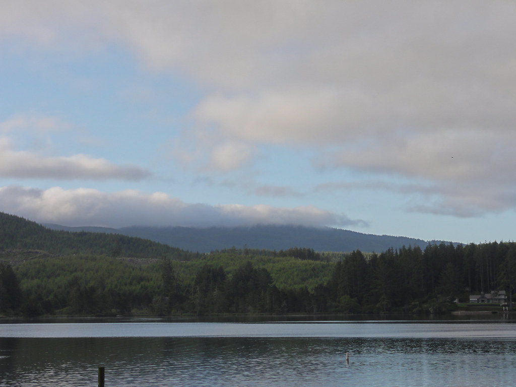
Now, you may be thinking, "But what about the beach?!" Well, we've actually been standing on it this whole time.
Dig beneath the concrete, pavements, buildings, and landscaping, and you'll find Pleistocene sand and dunes. Dig far enough, and you'll hit Tertiary mudstones. And that tells a story of tectonic uplift that spans hundreds of thousands of years, while the sea level bobbed and dipped in response to the waxing and waning of ice ages. During the Pleistocene, the sea level sometimes rose higher than it is today. Waves eroded nice, flat beaches on ye olde Tertiary bedrock, carving wave-cut platforms. Higher seas deposited sand all over the nice new platform. Wind picked up sand and busily built dunes. Then, glaciers (and the land) rose, seas fell, and a lovely flat marine terrace got left behind, while the sea busily went to work carving a new wave-cut platform and created a new beach at the feet of the old.
 |
| Bluffs and Beach |
Note those sea cliffs to the left. They get up to more than a hundred feet high, and if you wander over for a closer inspection, you'll see they're composed of terrace sandstone, topped with a dollop of dune sand. Near-vertical, bald bluffs get carved into those (geologically) young Pleistocene sediments by waves, stress-release fracturing, rainfall, groundwater seepage, and graffiti. Indeed, graffiti. That is, in fact, the main reason for the bluffs' retreat inland: people carve crap into the cliffs, kids dig caves, and the next thing you know, the cliff face is weakened enough to fall down and go boom. Hard to believe, innit? But you might want to mention to anyone you see out carving away that the homeowners up top might get very annoyed when their house follows the falling bits down onto the beach.
Let's have a look at this beach, because it's an interesting feature. It's what's known as a dissipative beach, and you'll see why in this photo:
 |
| Marching Waves |
Those winter storms, incidentally, don't remove just talus. The whole beach goes away, revealing the silt-and-sandstones of the Nestucca Formation. For a while, you can wander about on Eocene bedrock, until the sand comes swooshing back.
And you know what's really wild? Might as well never have happened at all. Sand sweeps up the beach in one direction in summer and in another during the winter. It gets poked, prodded, rolled and razzed by the waves. And yet the net littoral drift of all that harassed sand is a big fat 0. Zero. Nada.
Look north for the reason:
 |
| Headed Off at the Headland |
Have a look at the fine sand here:

You've got your basic quartz and feldspar, and a few minerals that tell us a lot of this sand eroded from the Klamath Mountains, along with bits from the Coast Ranges and suchlike. The really neat thing about this is, the sand here isn't the same as sand elsewhere on the Oregon coast. Those little pocket beaches jealously guard their sources. On some beaches, you'll find sands eroded from the local headlands, some more long distance; some coarse, some fine. The coarse stuff especially, which erodes from the sea cliffs, doesn't seem to have got much of a look-in before about 300 years ago, when the enormous subduction zone earthquake that sent a tsunami to Japan lowered bits of the Oregon coast and thus led to some pretty vigorous sea cliff erosion action. Neat, eh?
The time has come to reveal why this is the "D" River Beach Wayside:
 |
| A River Runs Through It |
 |
| Evidence |
Here it is very nearly in its entirety:
 |
| D River East |
 |
| D River Central |
 |
| D River West |
 |
| D River and the Sea |
 |
| Long View of a Short River |
There was a time when it was known simply as "the outlet," before a contest decided that the world's shortest river deserved the world's shortest name. And an outlet is about all it is - the thing's only 440 feet long at low tide. When you get a very high tide, the river's down to 120 feet. And yet, it's wider than some rivers in Arizona, and certainly has more water in it.
That water does fascinating things there on the beach.
 |
| Bouncy Water |
 |
| Foamy! |
You can see river gravel in its bed:
 |
| River Rocks on an Ocean Beach |
 |
| Wave-Bothered Gravel |
 |
| Erosion in an Instant |
 |
| Making Tracks |
So where the hell is this very short river coming from, you might wonder. There's this lake, you see, formed in uplifted marine sediments about 14,000 years ago.
 |
| Devil's Lake |
 |
| Sapphires and Emeralds |
Its watershed covers all of 12.1 square miles. And its outlet is none other than the D River. Neat!
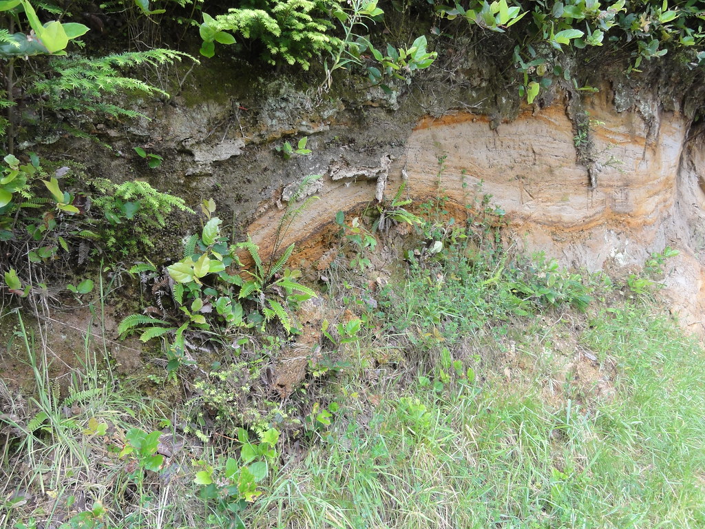
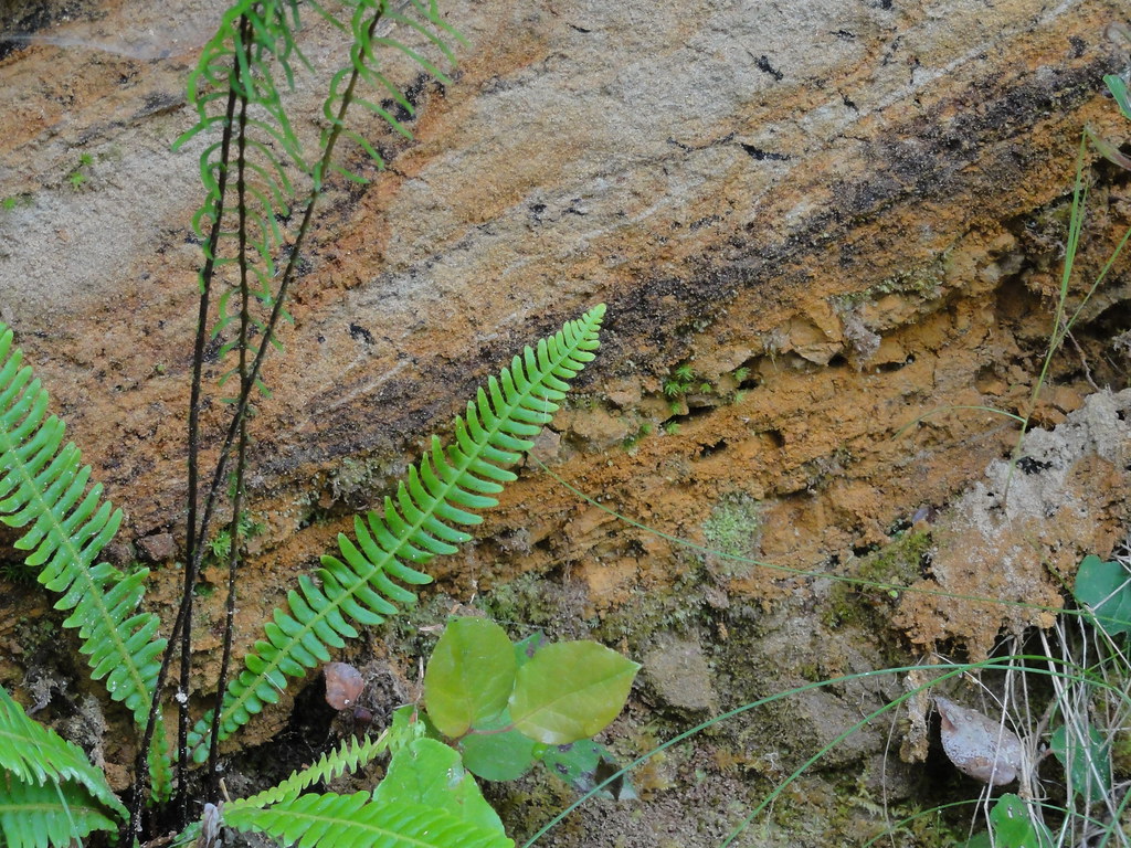
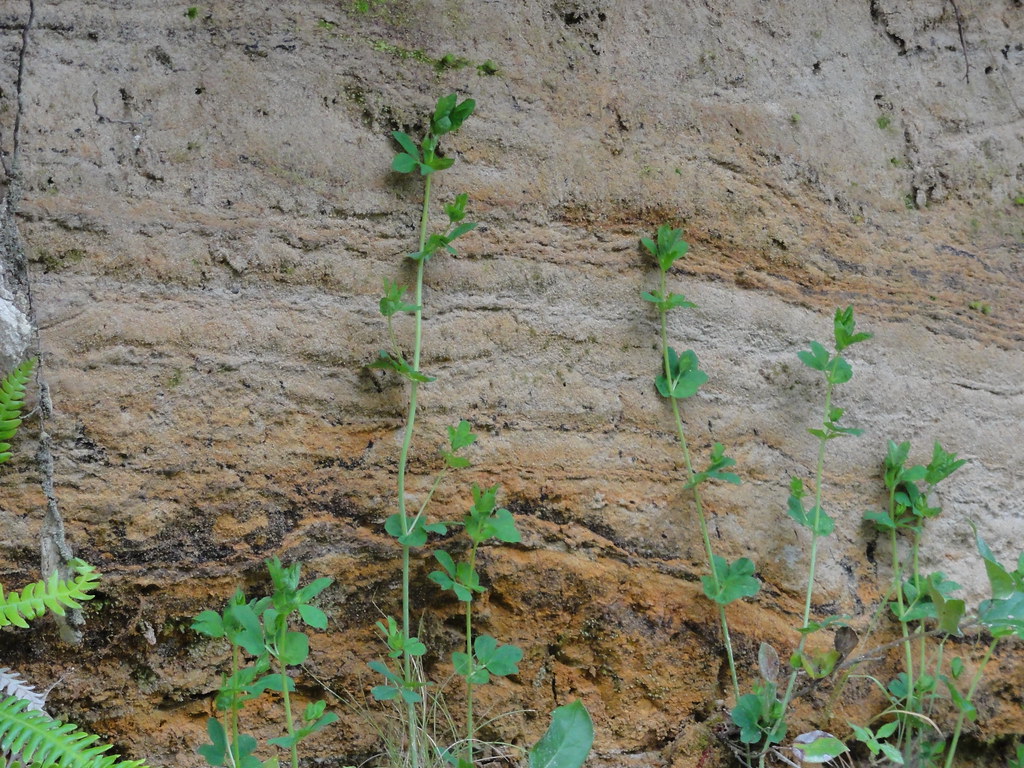
These images were taken at Regatta Park, where the bastards were getting ready to have a bloody regatta, which meant I had to take my shots quick and get out. No time to linger. But that gave me time to find a truly fine exposure of the Pleistocene dune and beach sands on NE Devil's Lake Road:
 |
| Layer Sandcake |
 |
| Streaks and Stripes |
 |
| I Think the Biology Is Jealous |
As ye olde tomes of indispensable reference failed me for this area, I present instead ye olde links:
Oregon Coast.org: About Lincoln City - source of some interesting tidbits on statues and short rivers.
The Devil's Lake Plan, Devil's Lake Water Improvement District (.pdf)
Shyuer-Ming Shih and Paul D. Komar: Sediments, Beach Morphology and Sea Cliff Erosion within an Oregon Coast Littoral Cell, Journal of Coastal Research (Winter 1994). Hooray for informative abstracts!
Ernest H. Lund: Rock Units and Coastal Landforms Between Newport and Lincoln City, Oregon. The Ore Bin, Vol. 36, No. 5 May 1974 (.pdf). Another paper that allowed me to sound like I'm savvy.
George R. Priest and Jonathan C. Allan: Evaluation of Coastal Erosion Hazard Zones Along Dune and Bluff Backed Shorelines in Lincoln County, Oregon: Cascade Head to Seal Rock. State of Oregon Department of Geology and Mineral Industries OFR O-04-09 (.pdf). No, I did not read all 93 pages!


4 comments:
wow.
did i say wow?
does this mean there will be a part 6? woohoo!!!
Very nice photos! I especially love the D River, amazingly short.
There sure are a lot of places in the Northwest that have those big honkin' sand deposits.
Fantastic descriptions....I just found your blog. Rock On!
Post a Comment