So we'll do this. We'll cut to the chase and play a favorite - a favorite place, one of my favorite places in the world. We'll take a trek through the desert and come upon an oasis.
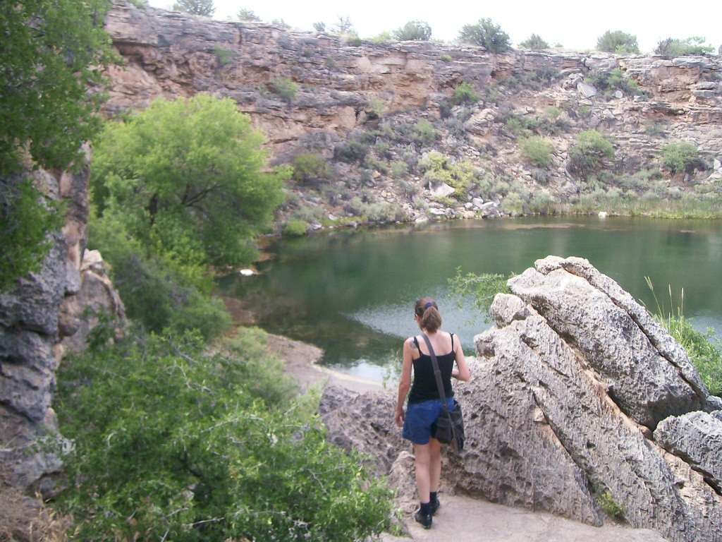 |
| Montezuma Well, ambush shot by Cujo |
Camp Verde got its name because a river runs through it, causing a line of green to conga through the hot, scrubby hills. It was enough of a shock that explorers named it the Verde River, because it was very nearly the only green thing they'd seen for absolute miles.
Water's rare and precious here. You don't expect deep, placid pools of it just lying about. But drive through the dirt and dust, past lizards and rattlesnakes and blocks of ancient lake floor, and eventually, you'll find yourself gazing down into a blue-green pond. Long ago, water dissolved a large pocket in the limestone, and gravity collapsed the roof, leaving a hole deep enough to reach a perched groundwater table lying atop old mudstones. Even in these drier times, springs still feed it to the tune of over a million gallons per day.
It's here that the Spanish name for the ancient Pueblo peoples who lived in this area, Sinagua, becomes something of a misnomer. They most certainly weren't "without water" in this place. They had an abundance. And they took full advantage, tucking houses and a granary into the cliffs along the sinkhole's rim, more houses down by the swallet where the waters flow out into Beaver Creek, and building a canal along the base of the cliffs outside the sinkhole.
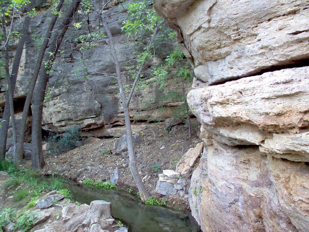 |
| The old Sinagua canal |
I'll have far more to say about it, plus a plethora of pictures, when we get to our Arizona geology series. How's that for a teaser, eh?
Now that you've had a nice rest at the water's edge, on with the parade!


2 comments:
A minor clarification. The Spanish didn't name these people the Sinagua, it was the archaeologist Harold Colton in the 1930s. The source of the term was "Sierra Sin Agua", or "mountains without water", the name the Spanish gave the San Francisco Peaks because they were shocked that any such mountain range didn't have perennial streams coming off of it. Colton applied the name first to the peoples that lived in the Peaks area; later, presumed cultural connections between the Peaks dwellers and the inhabitants of the Verde Valley caused the name to be applied to them as well.
Thanks Dana, I enjoyed your post and having it to start of the parade. I've actually been there and thought it was one of the most serene places I've ever been too. I also enjoyed looking at the geology of the place. I would love to go back there someday.
Post a Comment