You'd think, after all that, we'd be begging for forks to stick in ourselves. But this whole crazy trip had got started because we'd decided a visit to one of the tallest waterfalls in the United States was in order. The rest was a "while we're there" sort of thing that spun a bit out of control.
And so, early on a gloomy afternoon, we left the Portland Basin with its Boring Volcanic Field (anything but boring, I'm sure, although we didn't have time to explore it) and headed out to Gorge ourselves.
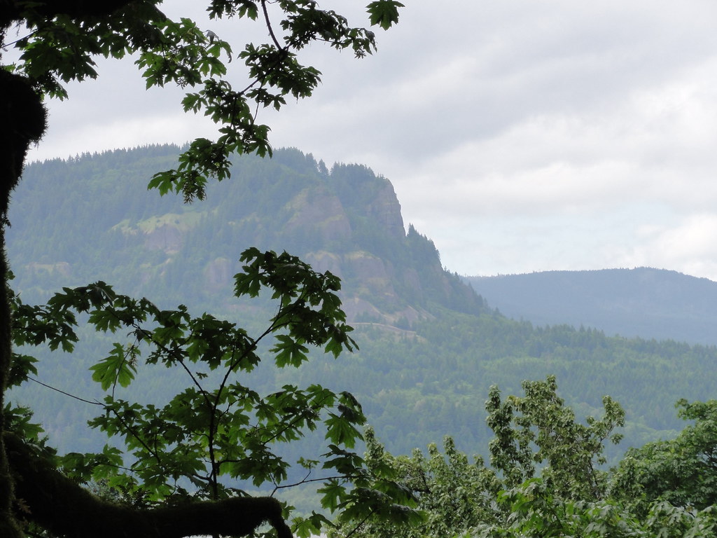
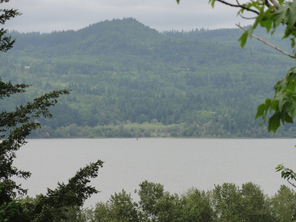
I want you all to stand here a moment at Chanticleer Point and look to the east.
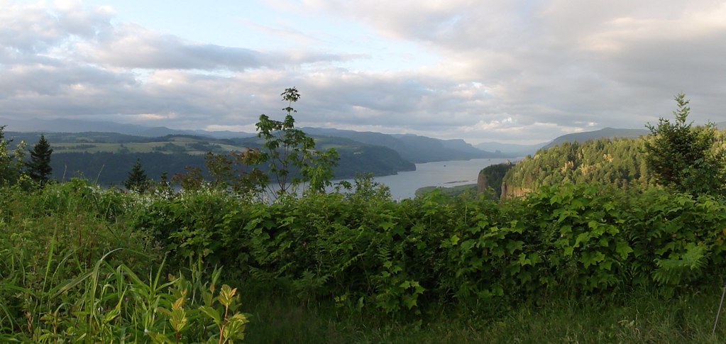 |
| Columbia River Gorge, Chanticleer Point |
Several things are needed to carve out such a gash in the earth. First, you've got to have a huge expanse of very competent rock. The Columbia River Basalts obliged there. Secondly, some uplift's useful. We're on a subduction zone, no worries there. Thirdly, you've got to have a very determined river capable of sawing right through the lot as it's being raised. The Columbia River is nothing if not a very determined river.
It also helps to have a massive, catastrophic flood or two - or over a hundred. Glacial Lake Missoula kindly obliged.
Look once more at the above photo. Peaceful, isn't it? Serene, beautiful, even majestic. Hard to believe that scenery was created by millions of years of barely comprehensible violence.
But let's transport ourselves back 20 million or so years ago. The land we're standing on didn't exist. The mighty Columbia, second largest river (by volume) in these United States, flows south of the future Mt. Hood and meets the Pacific northwest of Salem. We're in a nice lowland, picnicking on debris shed from the low volcanic islands that recently docked with the western edge of North America. Probably nice farmland, this. The Coast Range is rising and the Western Cascades are erupting. But there's nary a trace of flood basalt to be seen, and certainly no glimmer of a Gorge.
Positively pastoral, this. Let's get to the violence.
A little over seventeen million years ago, the earth in eastern Oregon opened up and spent half a million years paving a respectable patch of land with flood basalts. This first group, the Imnaha, didn't make it very far west, and so shall not trouble us here. But, had we been about at that time, that first outpouring of basalt might have given us notice to pack up our picnic and head for very high ground.
Things quieted for just around 1.5 million years. Then the Columbia River Basalts, having gotten some practice in, really let loose. Fifteen and a half million years ago, the Grande Ronde flows burst out and flooded the northwest on a scale not seen on earth since the Deccan Traps. They did what all self-respecting pioneers in America do, and headed west. By the time it was over, our pretty pastoral lowland lay buried under up to 3,000 feet of deep black lava.
 |
| Top o' the basalts at Bridal Veil State Park |
They evicted the Columbia River. And so began a dance that lasted millions of years.
During a 100,000 year lull, the Columbia cut a new channel. Then the Frenchman Springs basalts filched it. The Columbia River took advantage of the next wrinkle caused by colliding plates, and cut itself yet another channel. For 800,000 years, it meandered happily through the landscape on its way to the Pacific, only to be turfed out of its channel by the Priest Rapids basalts. The river got some of its own back by carving its way through the two previous flows, and for almost two million years, it seemed its wandering days were over. Then the Columbia River Basalts spilled out the Saddle Mountains basalts. The Pomona Member of that flow wasn't enough by itself to completely fill the Columbia River's channel, but a few million years later the Cascades started dumping basalt and debris flows into the bits of the channel the Pomona hadn't managed to finish off, forcing the river to relocate once more.
One can imagine the river might have been a bit peeved after all these evictions. But it settled down in its present channel, and all was peace and contentment aside from the Cascades throwing the occasional tantrum. The river carved itself a nice gorge. Then came the Pleistocene, and once again, the Columbia River found itself the host of immense floods.
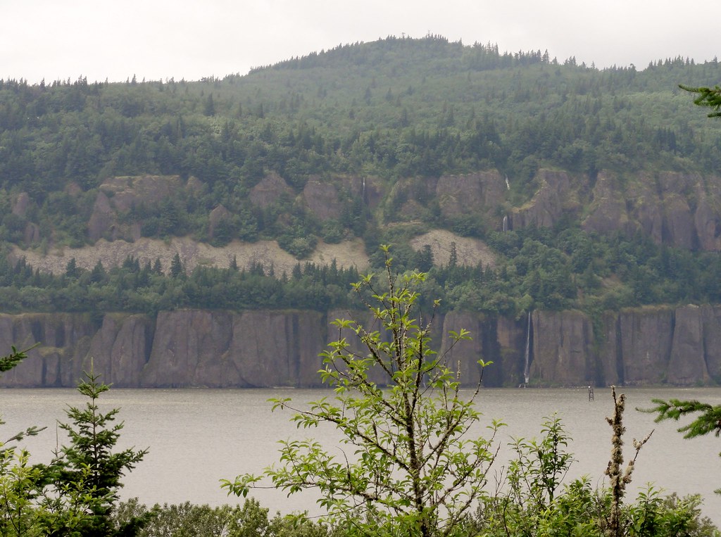
 |
| Looking East |
People, we are not talking your modern-day catastrophic flood. We are talking about flood crests that reached 1000 feet at The Dalles. As they rushed down the Gorge at around 65 miles per hour, they dropped in height to a mere 700 feet at Crown Point. Go back to the first picture, and consider that the floodwaters very nearly over-topped that cliff. Not to mention, the narrows there forced the flood to speed up to a cool 80mph.
Mind boggled yet?
Now, check something out:
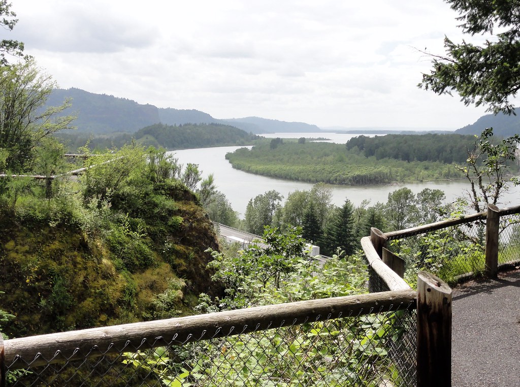 |
| Columbia River Gorge from Bridal Veil |
 |
| Top half of the Washington side of the Gorge |
 |
| Bottom Half |
The Missoula Floods deposited amazing amounts of sand, gravel and other debris. I'm not sure if this island in the Columbia is one of them or a later creation, but it gives the general idea:
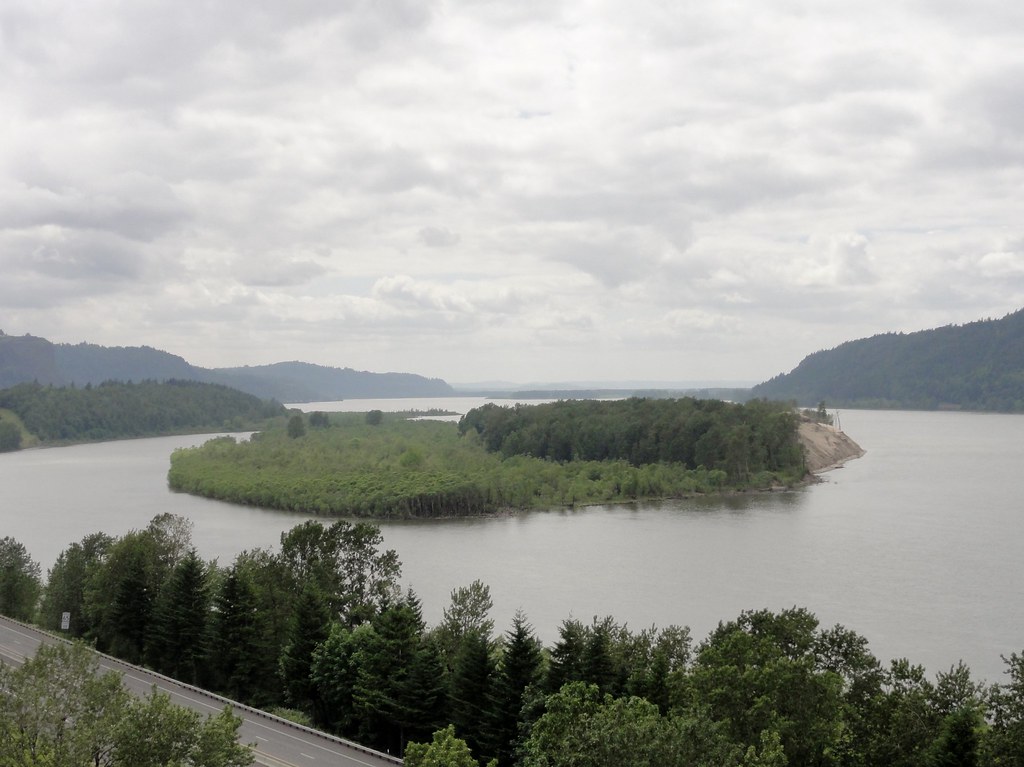 |
| Sandy Island |
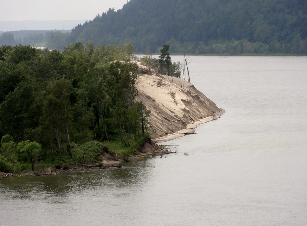 |
| Tawny sand + gray river x green trees = Pretty! |
 |
| Cliff |
 |
| More Cliffs, probably broody |
Standing stones
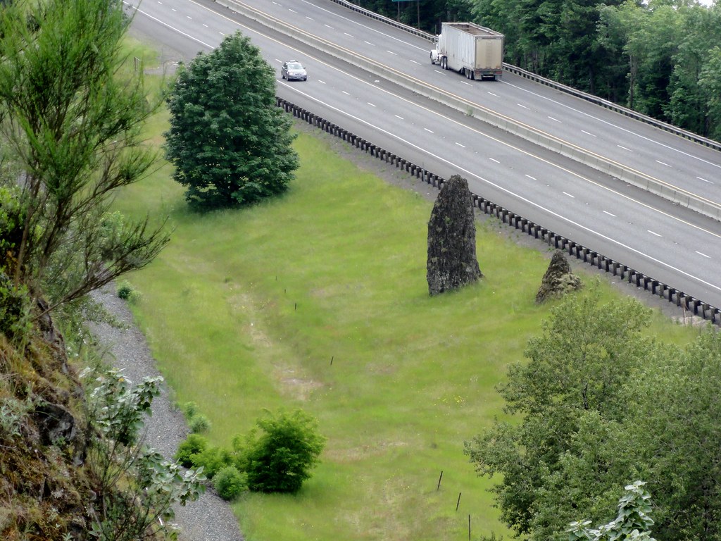 |
| Standing Stones |
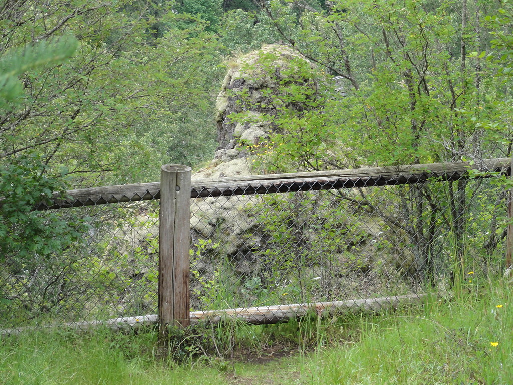 |
| Basalt Knob at Bridal Veil |
 |
| Relatively positive this is a landslide scar - view is toward the Washington side |
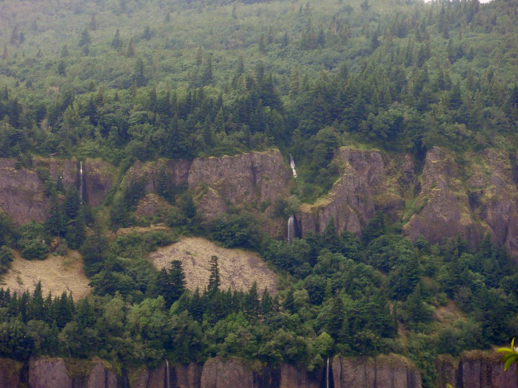
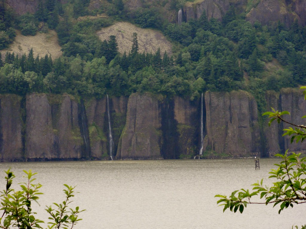
 |
| Waterfalls on the Washington side |
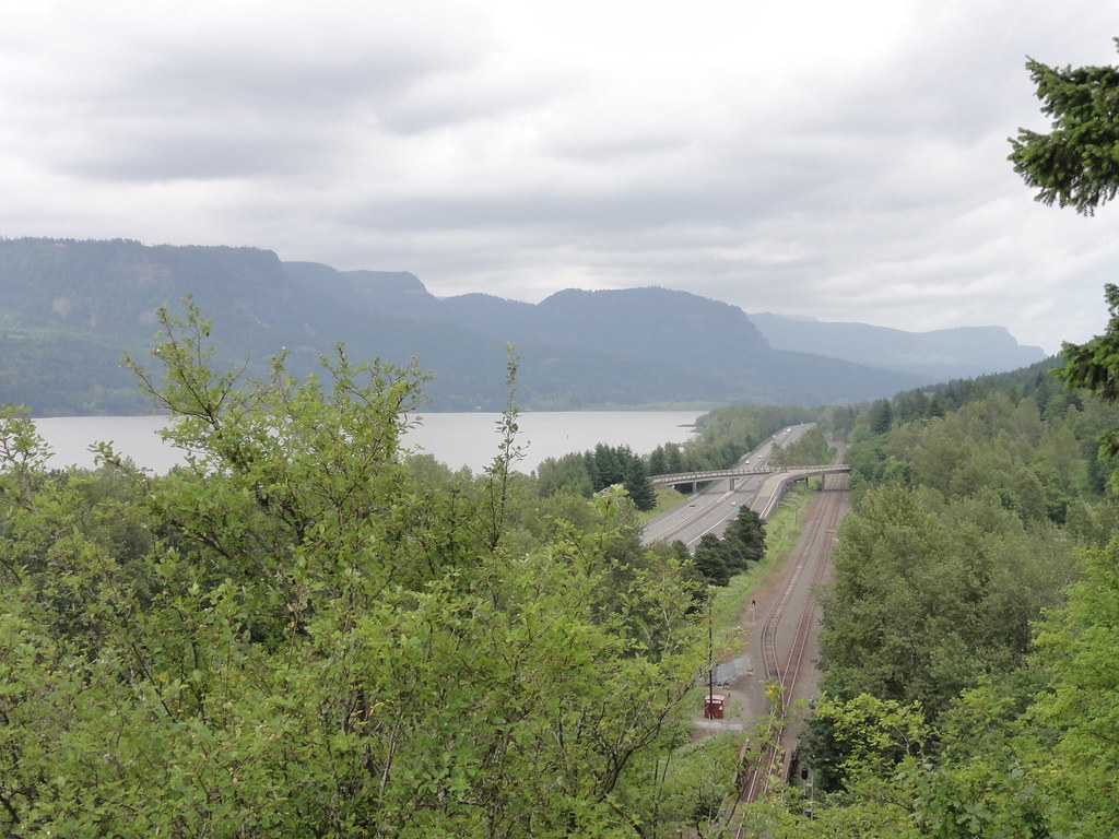
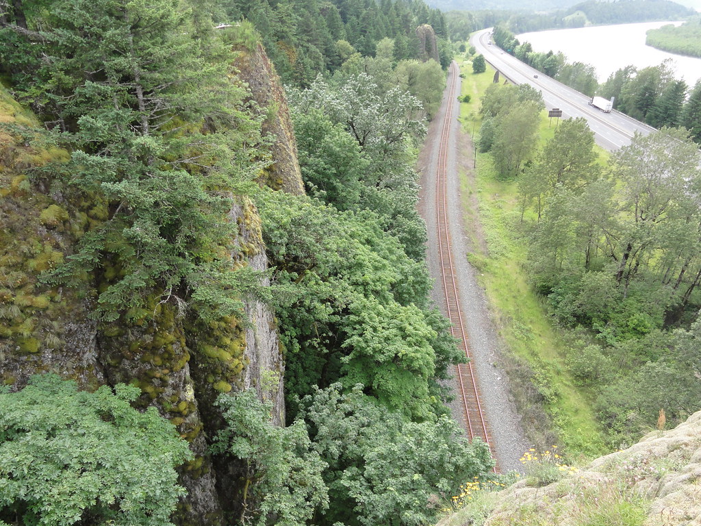
Another thing the Gorge sports is train tunnels. And, while they haven't much to do with geology, they're just too cool to leave out.
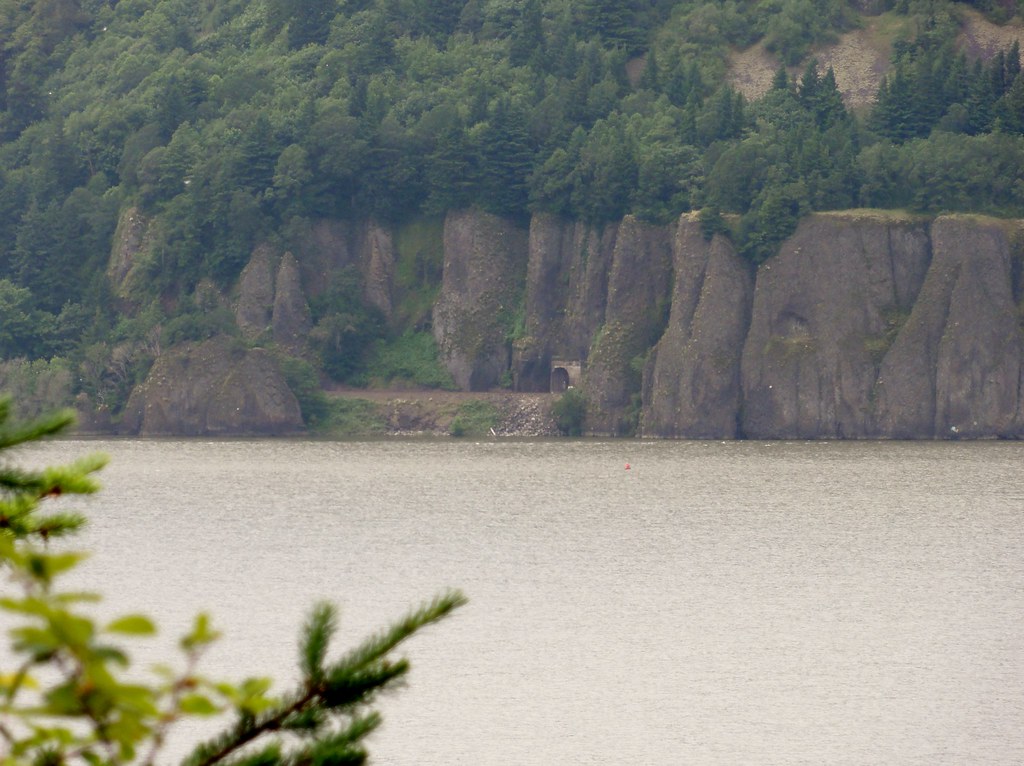 |
| Train tunnel |
 |
| See? Trains go in! |
Ye olde indispensable volumes and websites of reference as the author was trying to make sense of it all:
Fires, Faults and Floods - one of the best roadside guides to the Columbia River Basin evah.
In Search of Ancient Oregon - simply the most beautiful book written about Oregon's natural history.
Northwest Exposures - tying the whole shebang together in one easy-to-follow narrative.
Cataclysms on the Columbia - the book that truly helped me comprehend the incomprehensible.
The Restless Northwest - short, sweet, and yet comprehensive guide to Northwest geological shenanigans.
Roadside Geology of Oregon and Roadside Geology of Washington - indispensable references and inspirations.
Glacial Lake Missoula and its Humongous Floods - not only an informative guide to the discovery and history of the Floods, but an apt title, too!
USGS: Columbia Plateau Columbia River Basalt & Glacial Lake Missoula and the Missoula Floods - quick reference extraordinaire.
Wikipedia: Crown Point - aide de memoire.
Northwest Geological Society: The Effects of Volcanism and Tectonism on the Evolution of the Columbia River System (pdf) - cleared up some confusions over the Columbia's many evictions.


3 comments:
*standing on chair clapping wildly*
dana that top photograph is a blue ribbon winner.
as is your explanation. thanks
what Suzanne said. Bravo!
Wish it were a whole book.
More on the Boring Volcanic Field here.
Post a Comment